Topographical World Map for Secondary Schools
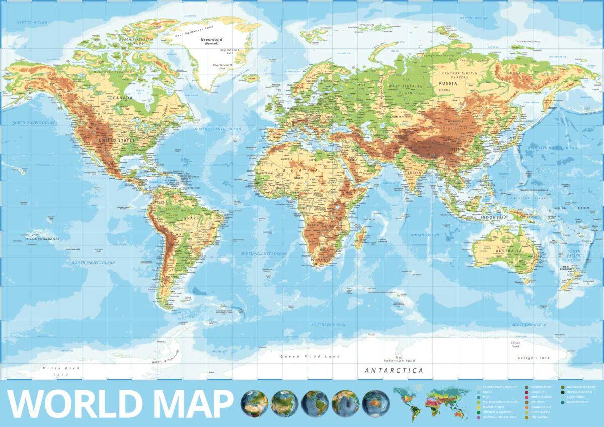
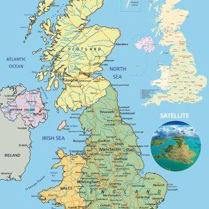
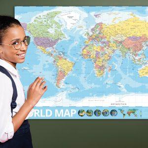
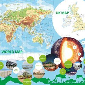
Our topographical world map is a great resource for any learning environment. The map includes all the countries, city’s, rivers, lakes, seas, oceans and mountain ranges. In addition we have included satellite images of the globe and a section showing the different biomes across the world.
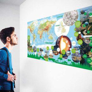
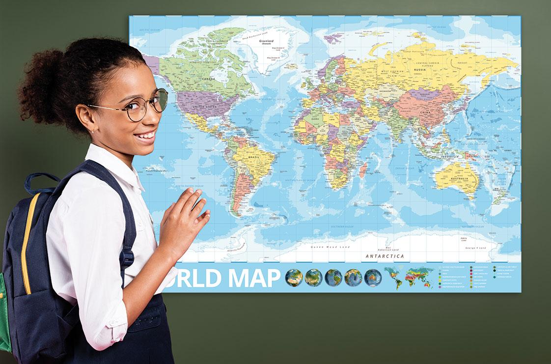
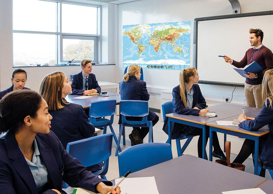
The display can be used as a teaching aid or as a reminder for students of the things they are covering in lessons. In addition to being a practical tool the vibrant design will enhance any learning environment creating a fun an inspirational space.
Please select
(Shipping not included)
Payment Options
Pay by Credit Card or
Pay by Invoice (within 7 days*)
Our topographical world map is a great resource for any learning environment. The map includes all the countries, city’s, rivers, lakes, seas, oceans and mountain ranges. In addition we have included satellite images of the globe and a section showing the different biomes across the world. The display can be used as a teaching aid or as a reminder for students of the things they are covering in lessons. In addition to being a practical tool the vibrant design will enhance any learning environment creating a fun an inspirational space. Looking for something that you can customise? See our customisable option here Available in 4 sizes this piece of wall art can be installed in both indoor and outdoor environments. The graphic is printed in full colour onto 5mm thick rigid foam boards (Indoor) or 3mm thick composite aluminium (Outdoor) using UV-guaranteed inks with the addition of a protective plastic laminate. They are easy to install and we are happy to provide advice on the best method depending on the surface.
Additional information
| Weight | N/A |
|---|---|
| Indoor or Outdoor Display | Indoor, Outdoor |
| Size | 2440 x 1220, A0, A1, A2 |